- Date
- Location
- Idea
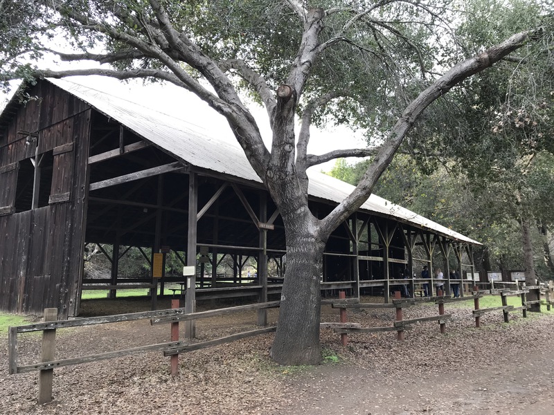
- Parks and Preserves
- Distances
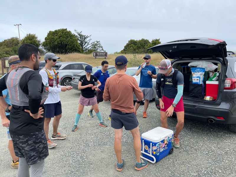
- Mobile Aid Stations
- RSVP and Survey
- Swags
- Social Media
- Sponsors
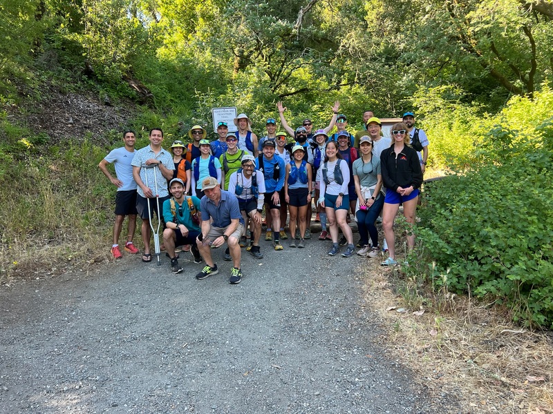
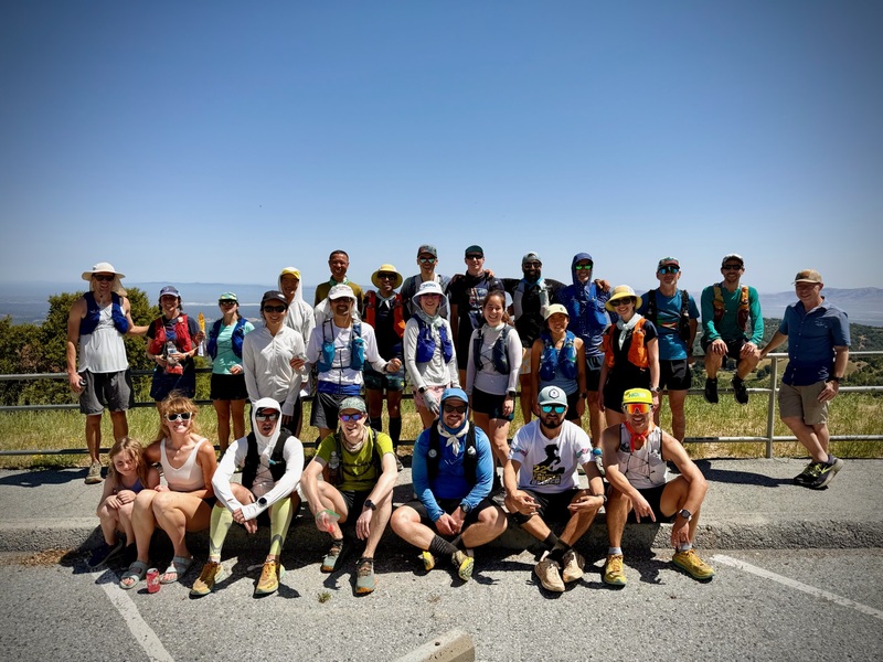
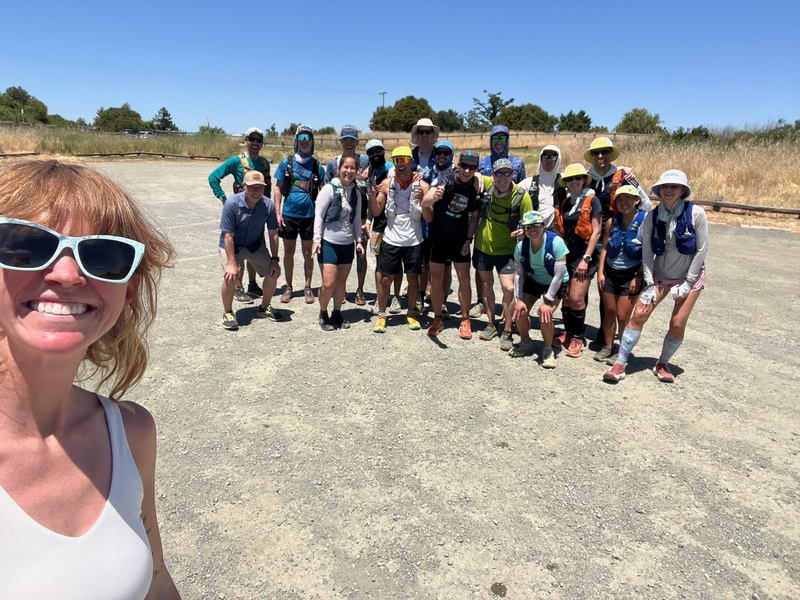
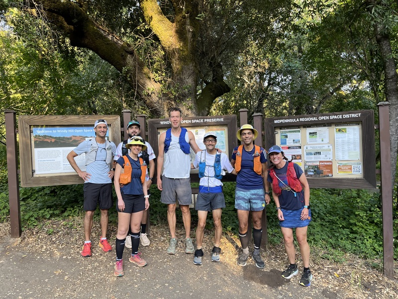
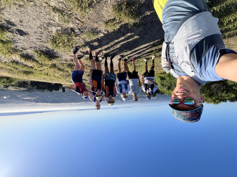
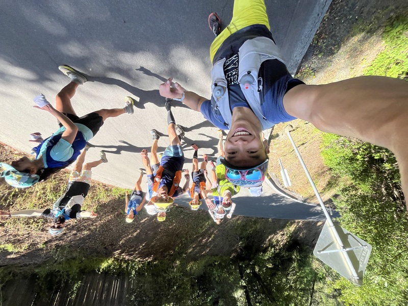
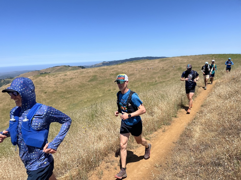
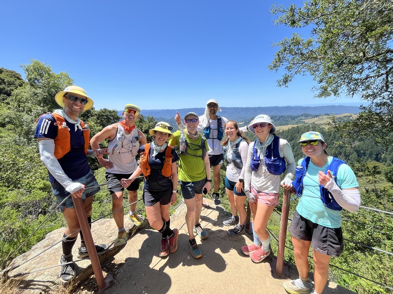
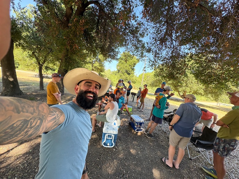
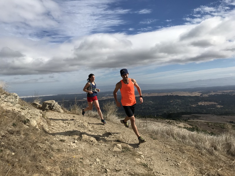
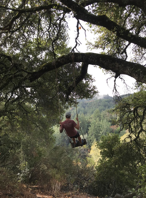
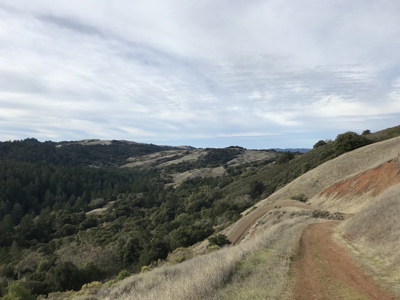
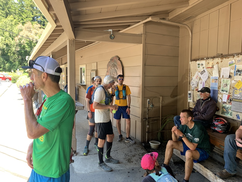
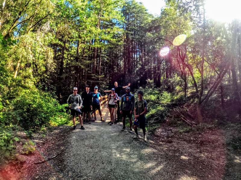
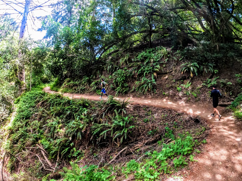
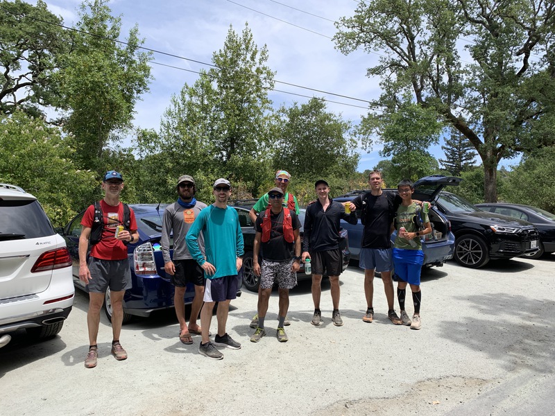
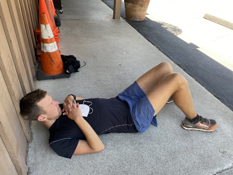
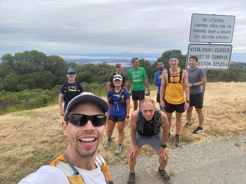
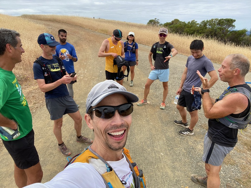
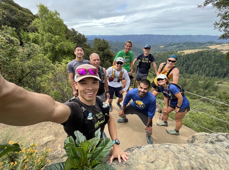
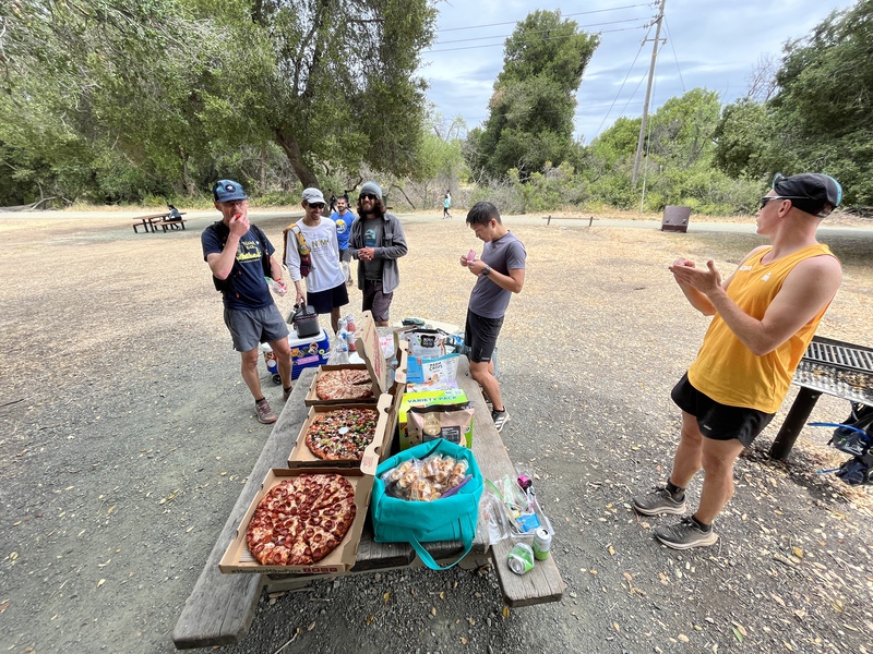
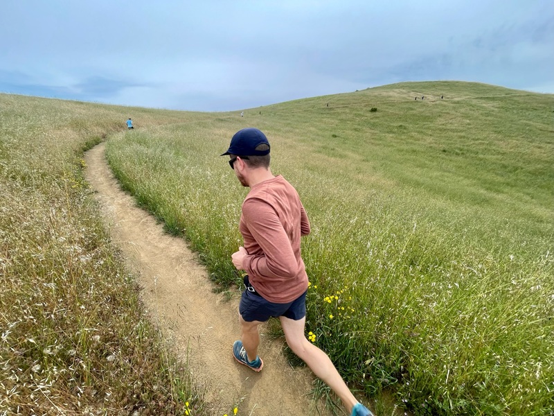
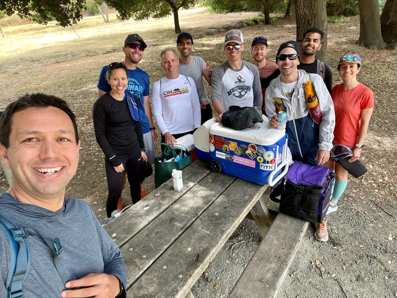
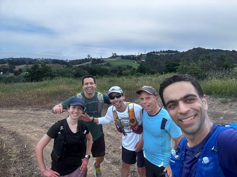
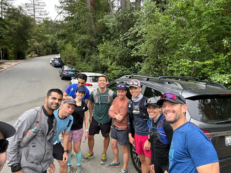
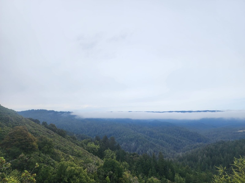
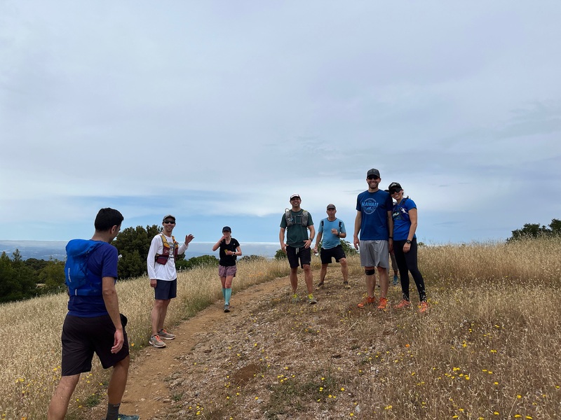
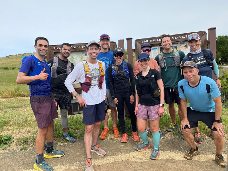
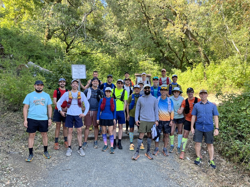
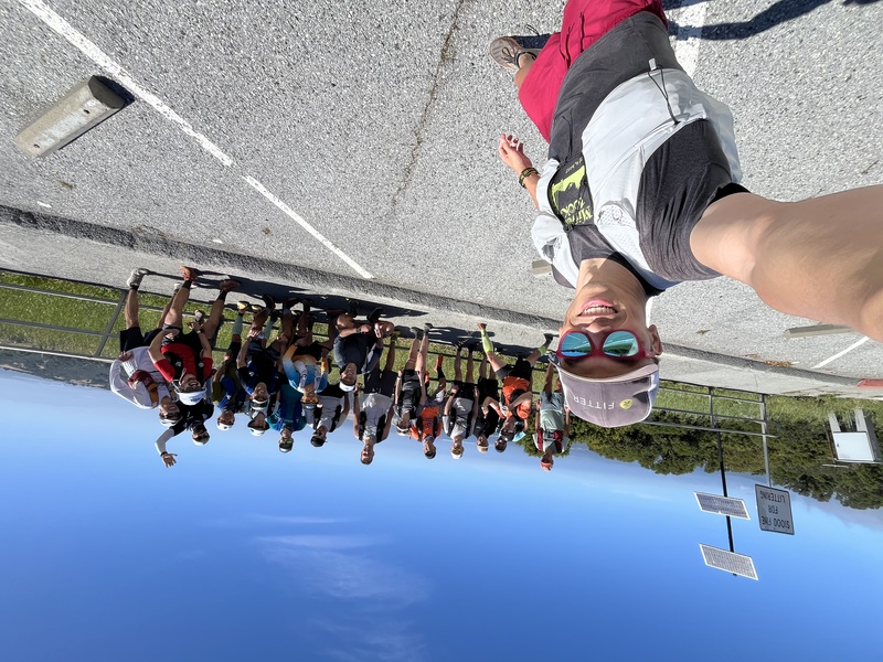
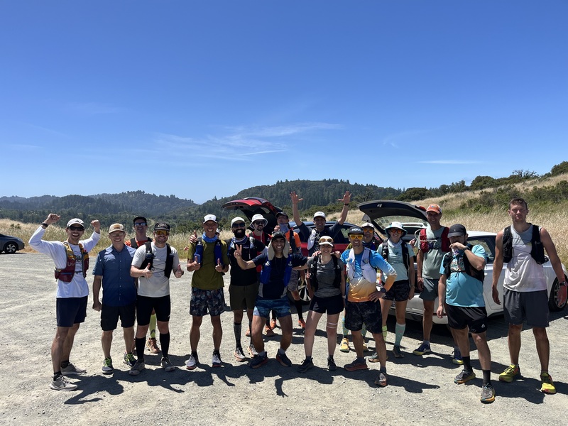
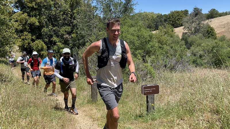
- 2019 Highlights
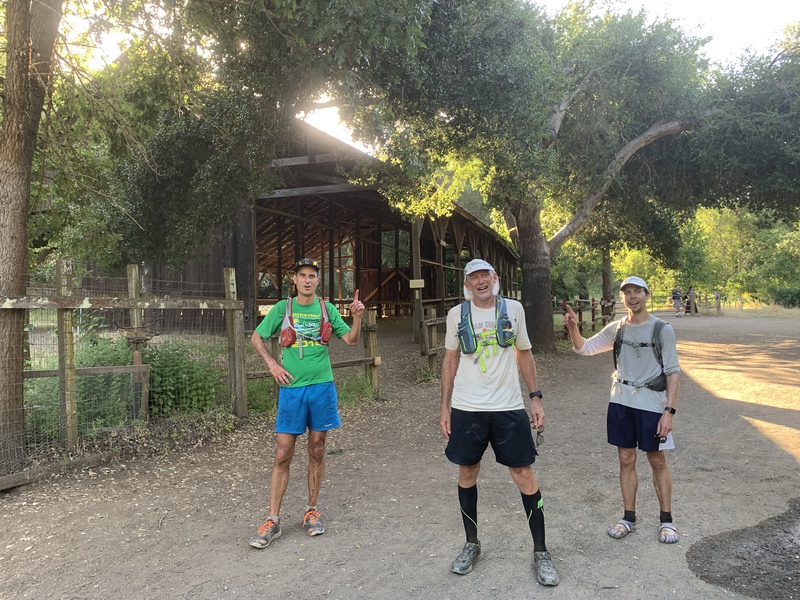
- 2021 Highlights
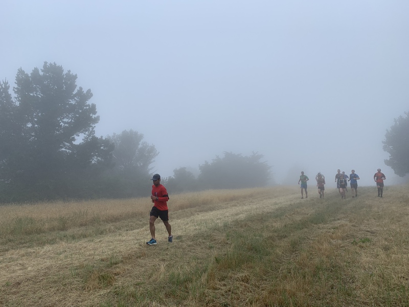
- 2022 Highlights
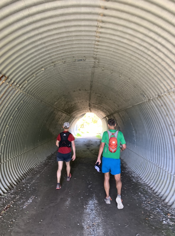
- 2023 Highlights
- 2024 Highlights
- 2025 Highlights
Date
Last Sat of May or First Sat of June (Rain, Shine, or Armageddon)
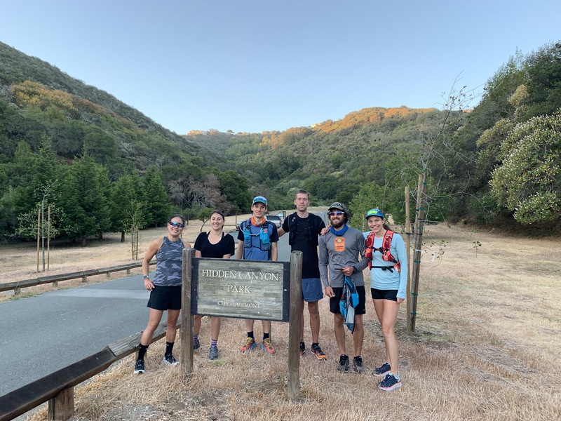
Location
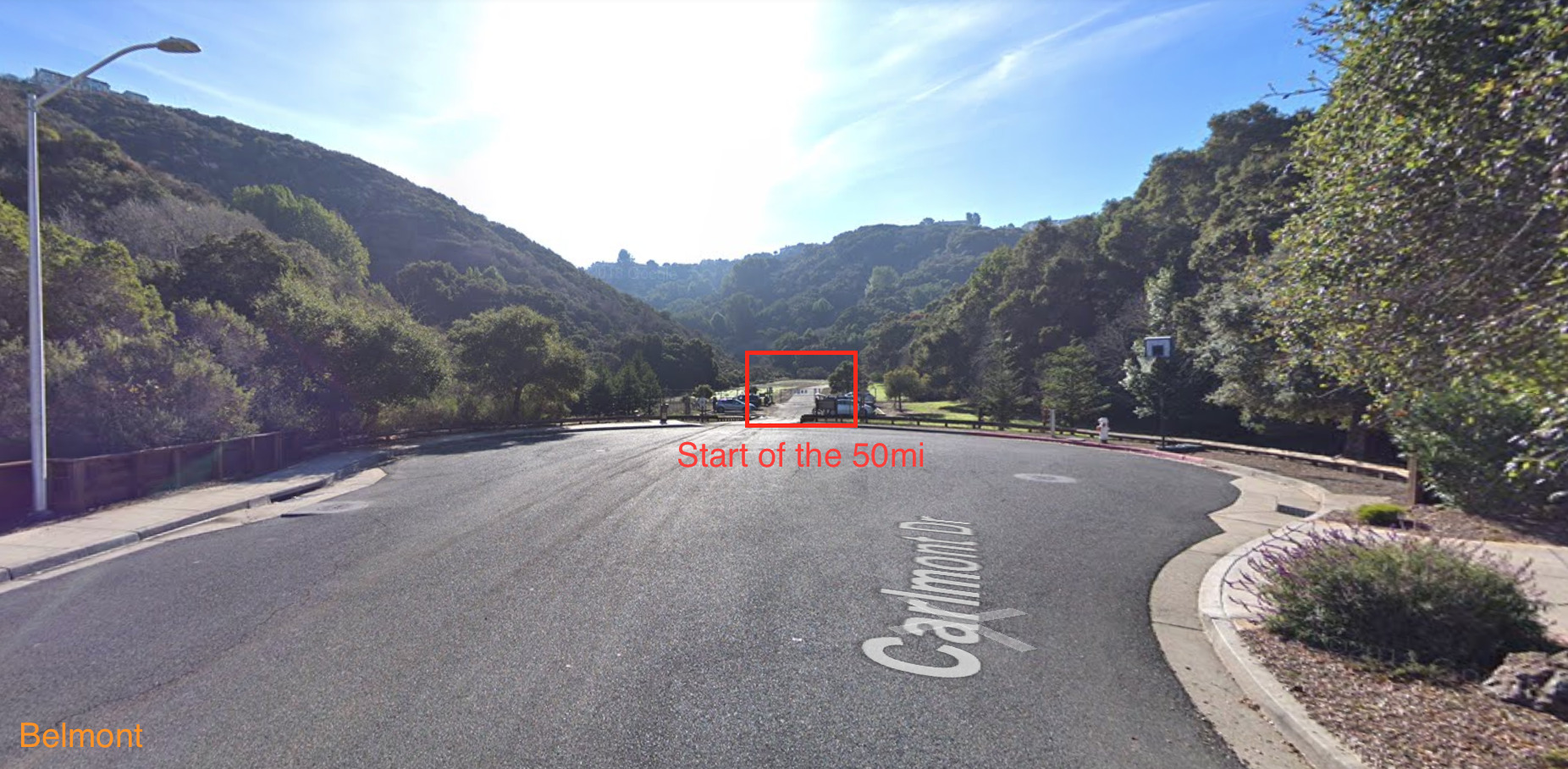
Hidden Canyon Park 2632 Carlmont Dr Belmont, CA
Idea
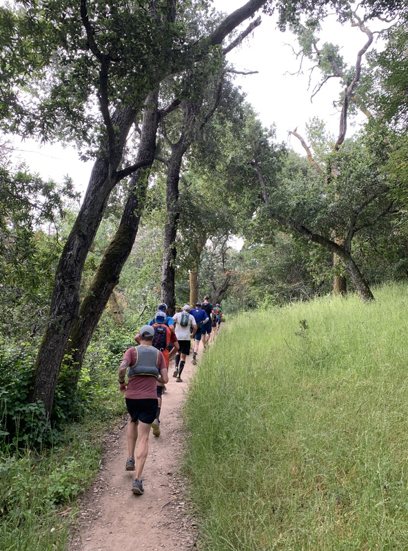
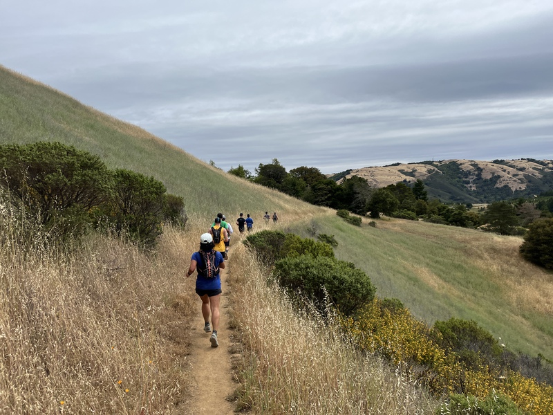
So I have mapped out a 50 miler in the peninsula which goes thru ~ 14 parks/preserves. This will be pretty epic. Folks who wants shorter distance can start with the group (or me) and pop off as they go, or wait and hop on as we (or me) going by …
Basically we start from belmont at waterdog lake park and finish at cupertino at rancho san antonio. Transportation should be pretty straightforward, we can either lyft/uber back to the start or i think pat is willing to pick us up! :P we can figure out the transportation later as i am just trying to see whos interested.
- self supported 50 miler unless you have someone whos willing to crew.
- no babysitting
- dont expect folks to wait for you at every turn (we might, but dont assume that)
- dont expect folks to carry your food/drinks
- dont expect the route to be marked (use the route below, i suggest you install GAIA GPS on your phone and download the GPX)
Parks and Preserves
- Hidden Canyon Park
- Waterdog Lake Park
- Pulgas Ridge Open Space Preserve
- Edgewood Park Nature Preserve
- Huddart County Park
- Teague Hill Open Space Preserve
- Wunderlich County Park
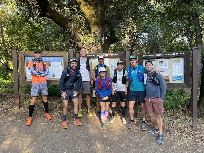
- Windy Hill Open Space Preserve
- Coal Creek Open Space Preserve
- Russian Ridge Open Space Preserve
- Skyline Ridge Open Space Preserve
- Monte Bello Open Space Preserve
- Los Trancos Open Space Preserve
- Rancho San Antonio Open Space Preserve


Distances
50mi
-
start to finish
- Elevation: 9,437ft
- hidden canyon park (belmont) to rancho (cupertino)
30mi
-
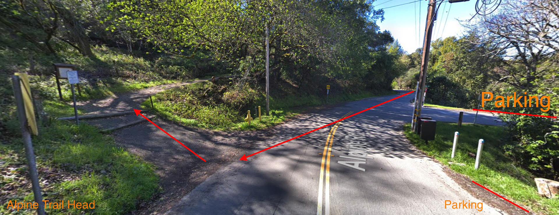
start to alpine trail head
- Elevation: 5,589ft
- first 31mi with the group
-
alpine trail head to finish
- Elevation: 5,564ft
- first 3.5mi to windy hill summit/skyline blvd. either wait for runners (26.5mi route) or run on skyline blvd to la honda rd (30mi route, road, becareful)
20mi
-
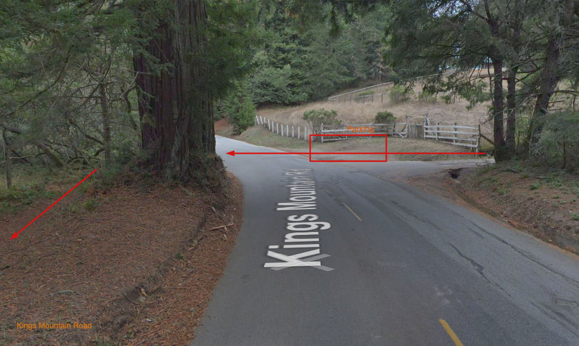
start to kings mountain rd (1st 17mi of the 50mi)
-
canada rd to alpine trail head (mile 11.5 to mile 31 of the 50 miler)
-
alpine trail head to finish (last 20mi)
- this is basically mile 31 on the 50mi route, just park the car at willowbrook dr/alpine rd and wait for us the arrive
15mi
-
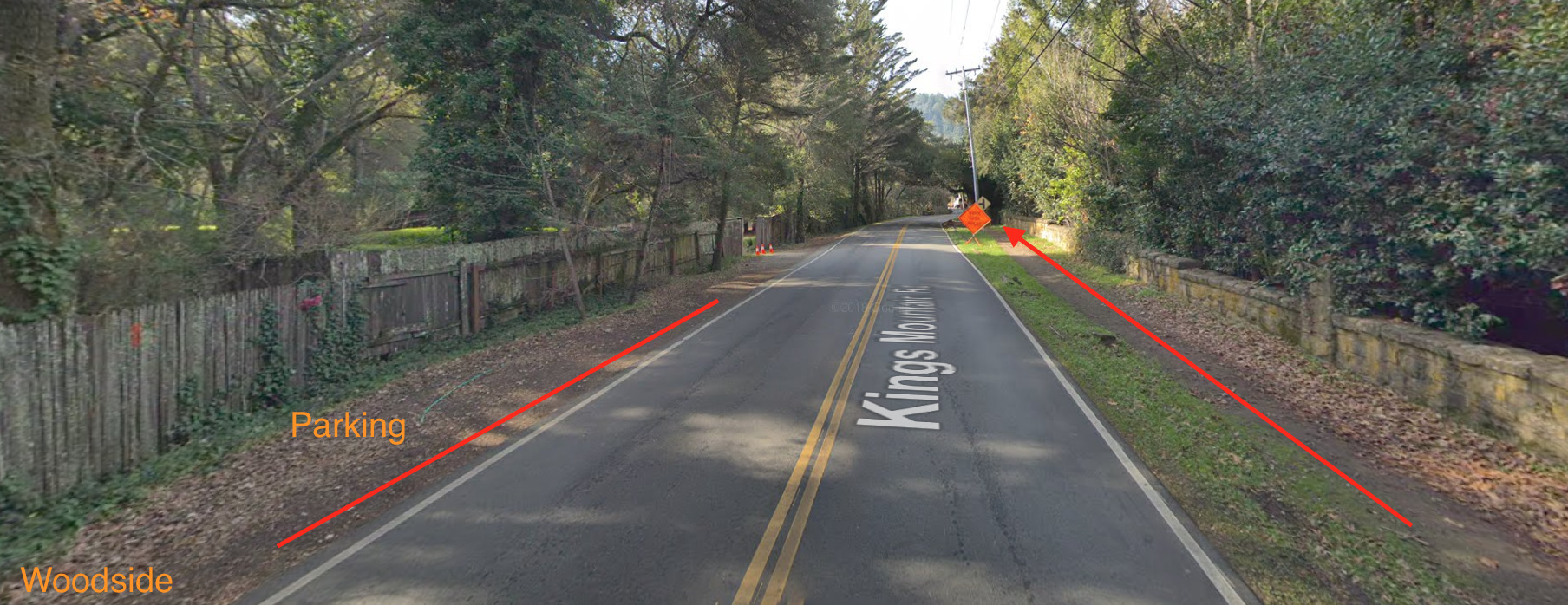
start to woodside
- Elevation: 2,410ft
- first 13.7M with the group, then we split on richard’s rd and finish at the woodside hardware store/post office
-
woodside to wunderlich loop
- Elevation: 2,809ft
- first 1 mile to meet us at richard’s rd/crystal spring trail, run 10.5 and stay on alambique trail to parking lot while we get on skyline trail. your last 1.5M is on road, so be careful!
-
silicon valley vista point to finish (last 15mi)
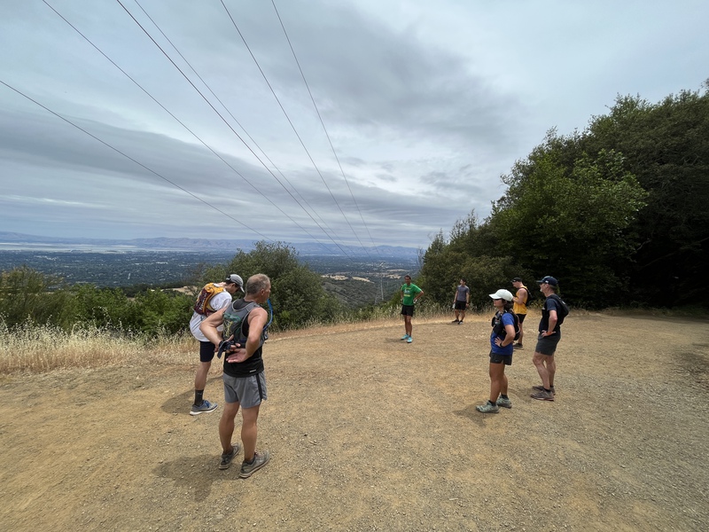
- wait for the group at silicon valley vista point on skyline blvd, we will go from russian ridge to finish
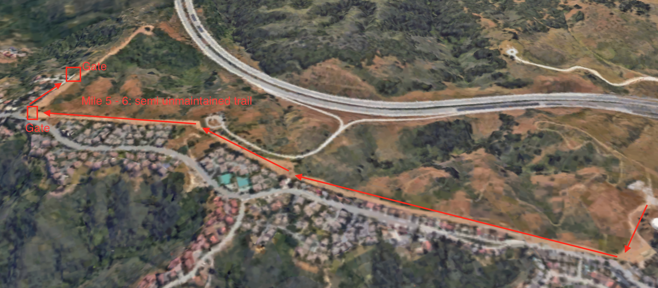
Detour and Road
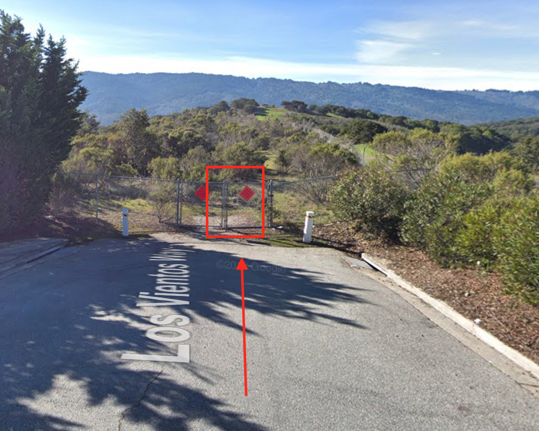
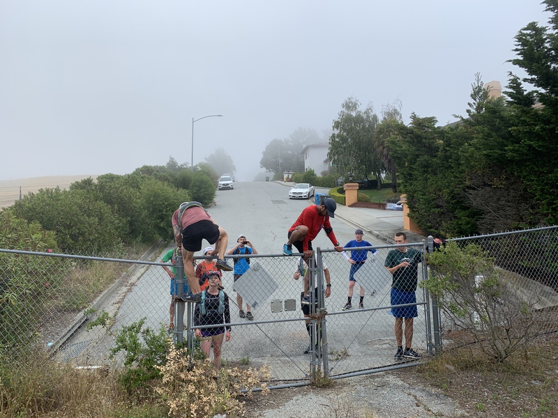
- Mile 5 to 6 : semi unmaintained trail (we MIGHT stick to the road on this section …)
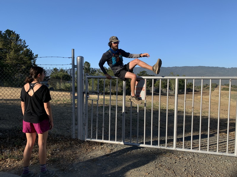
- Mile 6 : climb fence and stay on road for 2 blocks, then climb another fence to get back on trail
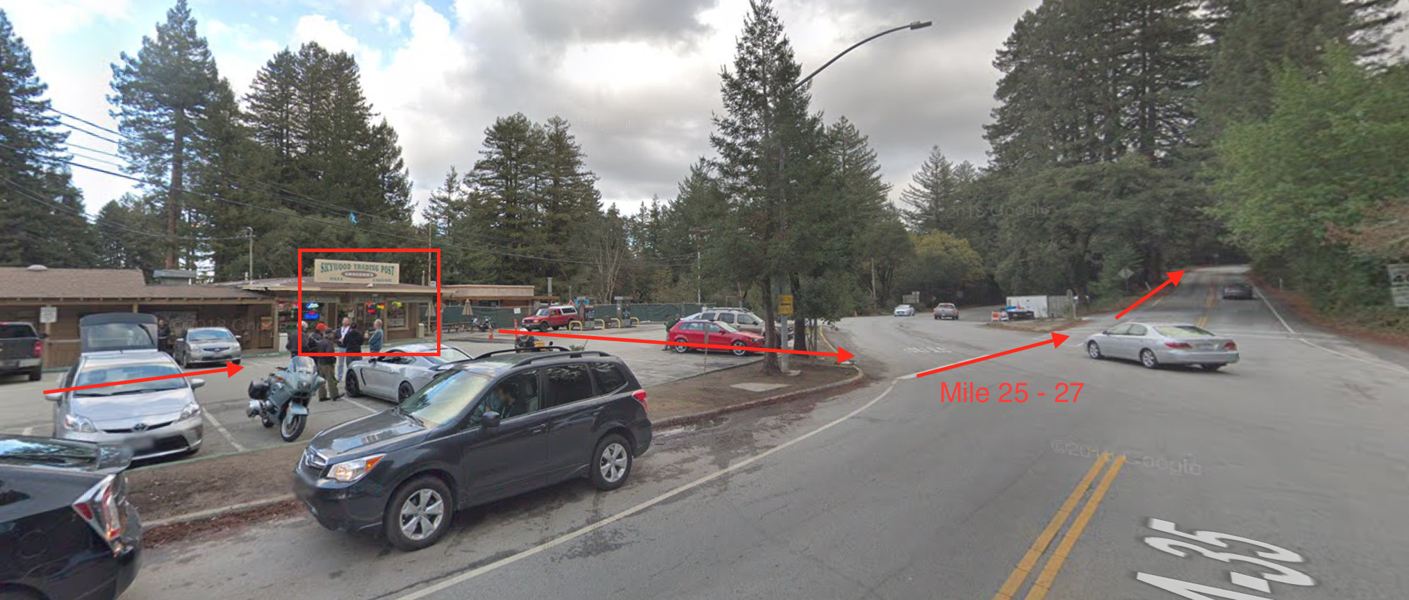
- Mile 25 to 27 : road from la honda to windy hill on skyline blvd (be careful!)
- Mile 33.5 to 34: road


Water
These are the water fountains along the 50 mile route. We plan to have an aid station at around mile 43 by monte bello/los trancos staging area on alpine rd.
- Mile 0 : start
- Mile 3.3 : lake rd right as we leave waterdog lake park
- Mile 4.5 : by crystal springs cross country course
- Mile 8.8 : right after we enter edgewood park
- Mile 13.6: huddart park once we past richard’s rd
- Mile 24.5: general store in la honda on skyline blvd (bring $ for snacks)
- Mile 38.2: horseshoe lake at skyline ridge
- Mile 49.8: deer hollow farm at rancho
- Mile 51 : finish
Public Toilets
There are public toilets and outhouses along the 50 mile route, just in case you need to know! ;P
- Mile 4.5 : port-o-potty by crystal springs cross country course
- Mile 8.8 : right after we enter edgewood park (at 8.4 as we leave pulgas ridge as well, but not as nice)
- Mile 13.6: huddart park once we past richard’s rd
- Mile 24.5: general store in la honda on skyline blvd (maybe they will let you use? ¯\(ツ)/¯)
- Mile 27.6: after we get to windy hill
- Mile 38 : outhouse at the staging area just before we get to horseshoe lake at skyline ridge
- Mile 39.5: at skyline ridge staging area
- Mile 41.8: at monte bello staging area
- Mile 49.8: deer hollow farm at rancho
- Mile 51 : finish
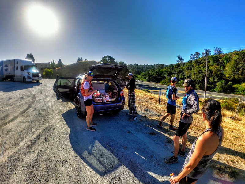
Logistics
Runners doing the first half of the run will wait for Calvin W to come pick them up before heading to the start. Runners doing the second half of the run will park and leave their car, and will be dropped off post run.
Belmont
- Google Map: here
Canada Rd
- Google Map: here
Woodside
- Google Map: here
Kings Mountain Rd
- Google Map: here
Alpine Trail Head
- Google Map: here
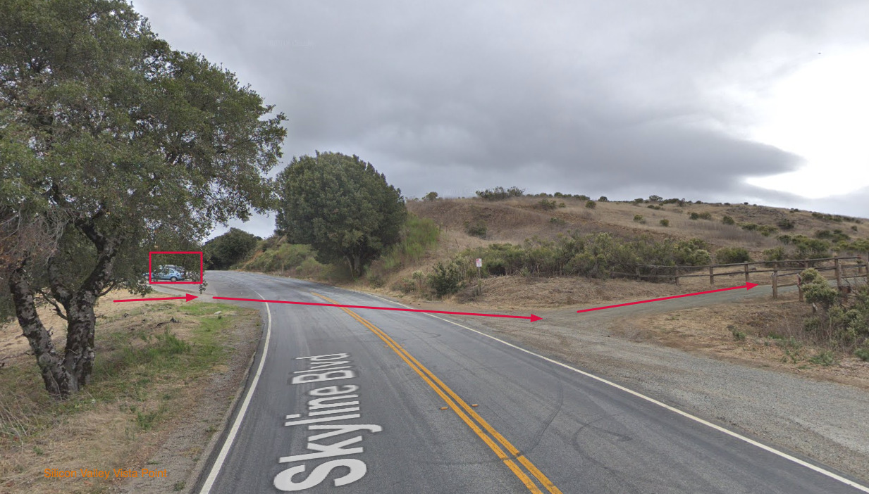
Silicon Valley Vista Point
- Google Map: here

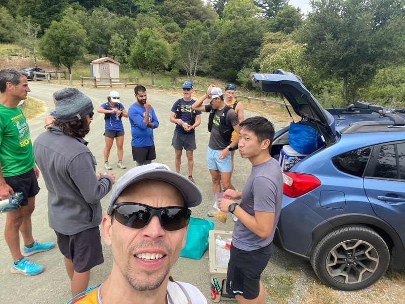
Mobile Aid Stations
I will grab stuff from costco/trader joe’s and prep them for drivers. Here is what I am thinking at the moment. Feel free to suggest in survey.
- Water
- Sparking Water (spindrift, la croix)
- Electrolyte
- Watermelon
- Stroopwafels
- Snack Factory Pretzel Crisps
- VERB Caffeinated Snack Bars
- Pure Organic Fruit Strips
- Black Forest Organic Gummy Bears
- Bavarian Beef Jerky Stick
- DeeBee’s Organic Freezie Pops
- Hofbräu Oktoberfestbier Mini Keg
Mile 11.5 - Canada Rd
- Google Map: here
Mile 17 - Kings Mountain Rd
- Google Map: here
Mile 25 - La Honda Rd Skywood Trading Post
- Google Map: here
- Bring $ :P
Mile 31 - Alpine Trail Head
- Google Map: here
Mile 38 - Russian Ridge Open Space Preserve Parking Lot
- Google Map: here
Mile 42 - Los Trancos Preserve Parking Lot
- Google Map: here
Mile 51 - Rancho San Antonio Open Preserve Parking Lot
- Google Map: here
RSVP and Survey
Please fill out the survey so we know what to expect and plan out the shorter routes accordingly to fit everyone in. If you would like to get on the mailing list for updates prior to the run, please DM @peninsularunningproject on instagram or leave your email on the survey, thanks a bunch.
Swags
- Finisher sticker
- Bragging right! ;)
- Protein bars/cookies, etc
- Possible raffle prizes!!! :P
Social Media
Keep in touch with us on instagram @peninsularunningproject or use hashtag #peninsularunningproject for updates. If you want to join our running group, we’re based in the peninsula. Find us on strava as well. Peninsula Running Project
Sponsors
None so far! :P
2019 Highlights


2021 Highlights


2022 Highlights


2023 Highlights

2024 Highlights
2025 Highlights