Day-by-Day Itinerary
Click any day to expand full details · Pick a start date above
Day0
Arrival — Venice → Cortina → Lago di Braies
✈️ Getting There
Fly into Venice (VCE or Treviso TSF). Then:
Option A: Cortina Express bus Venice → Cortina d'Ampezzo (~2 hr), then local bus/taxi toward Dobbiaco with stop at Lago di Braies (summer service) — or taxi direct (~45 min).
Option B: Train Venice → Fortezza → Villabassa/Niederdorf, then bus 442 to Lago di Braies (~15 min, frequent in summer).
Note: In peak summer (mid-July–early Sept) the Braies valley road has timed access restrictions ~9:30 AM–4 PM — arriving in the evening avoids all of it.
Option A: Cortina Express bus Venice → Cortina d'Ampezzo (~2 hr), then local bus/taxi toward Dobbiaco with stop at Lago di Braies (summer service) — or taxi direct (~45 min).
Option B: Train Venice → Fortezza → Villabassa/Niederdorf, then bus 442 to Lago di Braies (~15 min, frequent in summer).
Note: In peak summer (mid-July–early Sept) the Braies valley road has timed access restrictions ~9:30 AM–4 PM — arriving in the evening avoids all of it.
🏠 Night 0 Lodging
Hotel Lago di Braies
Website →
Historic hotel right on the lakeshore — step out the door onto the trail at dawn. Books out far ahead; worth it for the start-line convenience.
Villabassa / Braies valley guesthouses
Booking.com →
Cheaper beds 15 min down-valley; catch the first 442 bus up to the lake (~7 AM).
💡 Notes: Withdraw EUR cash — rifugi prefer cash (some take cards, don't count on it). Buy trail snacks in Cortina or Villabassa. This extended itinerary is a genuinely big week — six long days back to back, two of them 30+ km. Sleep well tonight.
TypeArrival day
RunningOptional lake lap
Transfer time~3–4 hr
Cash neededEUR
Day1
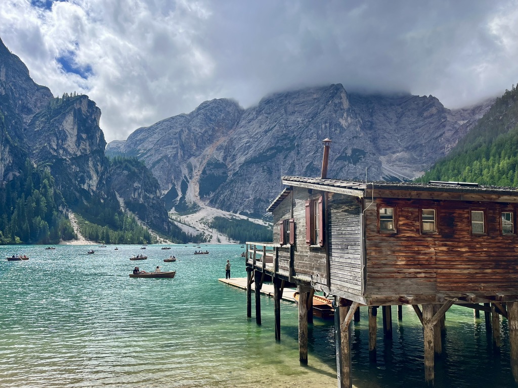
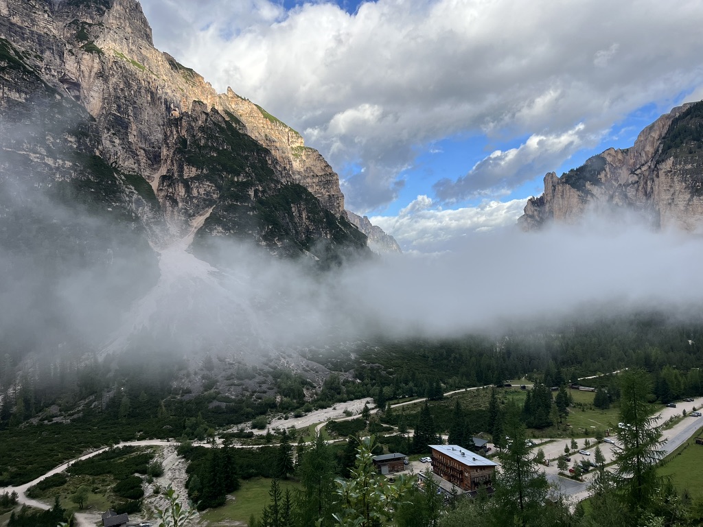
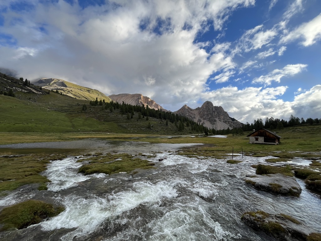
Lago di Braies → Rifugio Biella → Alpe di Sennes → Pederü → Rifugio Fanes
Loading map…
Loading elevation…
📍 Map/elevation above covers the direct Biella→Pederü line only — the Alpe di Sennes detour isn't GPS-traced and isn't shown on this chart. Card stats include the detour; the chart doesn't.
Highlights
Lago di Braies at dawn
Forcella Sora Forno (2,388 m)
Alpe di Sennes plateau
Fodara Vedla
Fanes plateau
⚠ Notes: Start on the lakeshore before the day-trip crowds. Climb out of the Braies cirque to Forcella Sora Forno, then rather than dropping straight to Pederü, stay high across the Alpe di Sennes plateau — Rifugio Sennes is reachable within an hour of Biella and the pastures beyond it are some of the gentlest, most scenic walking on the whole route. Rejoin the standard line, drop to Pederü, and climb the jeep track to the Fanes plateau.
🍽 Lunch: Rifugio Pederü (~19 km in) — full kitchen, strudel.
📏 Why it's longer: The Sennes plateau detour is a real, documented alternative to the direct Biella→Pederü line — it adds real distance and gentle elevation, not GPS-verified against a specific track. Treat the day-length as a solid estimate.
🍽 Lunch: Rifugio Pederü (~19 km in) — full kitchen, strudel.
📏 Why it's longer: The Sennes plateau detour is a real, documented alternative to the direct Biella→Pederü line — it adds real distance and gentle elevation, not GPS-verified against a specific track. Treat the day-length as a solid estimate.
Distance~25.8 km
Elev Gain↑ ~1,649 m
Elev Loss↓ ~1,034 m
Moving Time~9.5 hr
DifficultyHard
GPX📥 Download ⬇
Day2
Rifugio Fanes → Lagazuoi → Falzarego → Cinque Torri ring → Scoiattoli → Rifugio Averau
Loading map…
Loading elevation…
📍 Map/elevation above covers the direct Fanes→Averau line only — the Cinque Torri ring + Scoiattoli loop isn't GPS-traced. Card stats include the detour; the chart doesn't.
Highlights
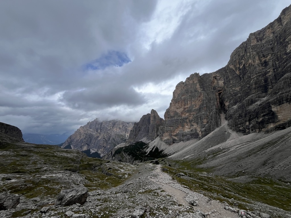
Forcella Lagazuoi (2,752 m)
Lagazuoi WWI tunnels
Cinque Torri full ring
Rifugio Scoiattoli
Rifugio Averau
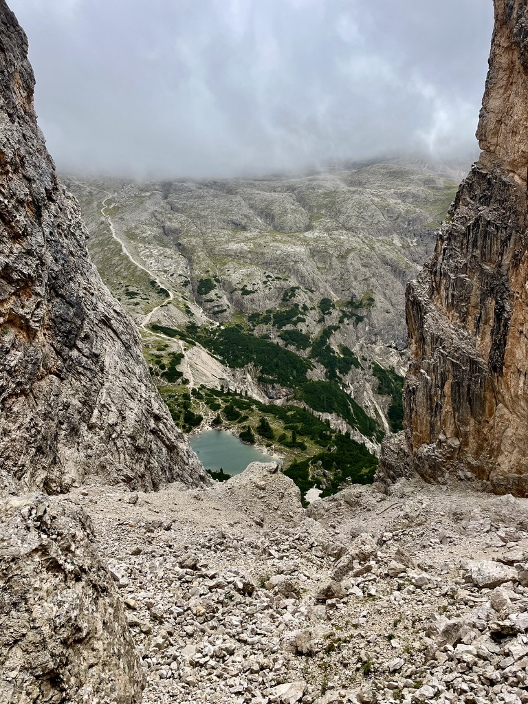
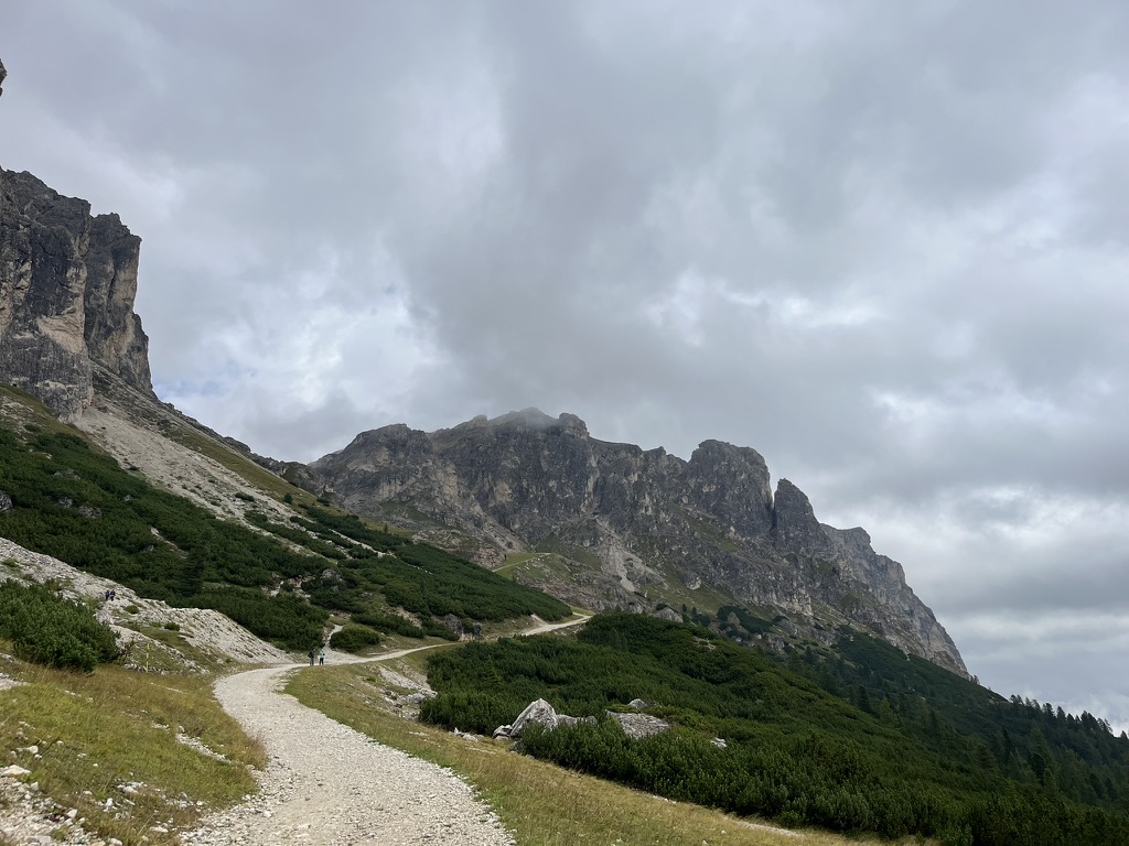
⚠ Notes: The longest day of the trip, by design. Climb over Forcella Lagazuoi — the highest point on this whole itinerary — and descend to Passo Falzarego via the WWI tunnel system (headlamp needed) or the open trail 402 around it. Instead of cutting straight to Averau, do the full Cinque Torri ring and continue to Rifugio Scoiattoli — restored WWI trenches, five limestone towers, one of the best open-air war museums in the Alps — before the short final climb to Averau.
🍽 Lunch: Rifugio Lagazuoi at the pass, or Scoiattoli near the end of the day.
📏 Why it's longer: Direct Fanes→Nuvolau/Averau is ~26 km. Looping the Cinque Torri ring plus Scoiattoli adds ~6 km and ~2 hr — a real, well-documented add-on, stitched together from trail-guide segment data rather than one continuous GPS track.
🍽 Lunch: Rifugio Lagazuoi at the pass, or Scoiattoli near the end of the day.
📏 Why it's longer: Direct Fanes→Nuvolau/Averau is ~26 km. Looping the Cinque Torri ring plus Scoiattoli adds ~6 km and ~2 hr — a real, well-documented add-on, stitched together from trail-guide segment data rather than one continuous GPS track.
Distance~32.2 km
Elev Gain↑ ~2,065 m
Elev Loss↓ ~1,712 m
Moving Time~12 hr
DifficultyVery Hard
GPX📥 Download ⬇
Day3
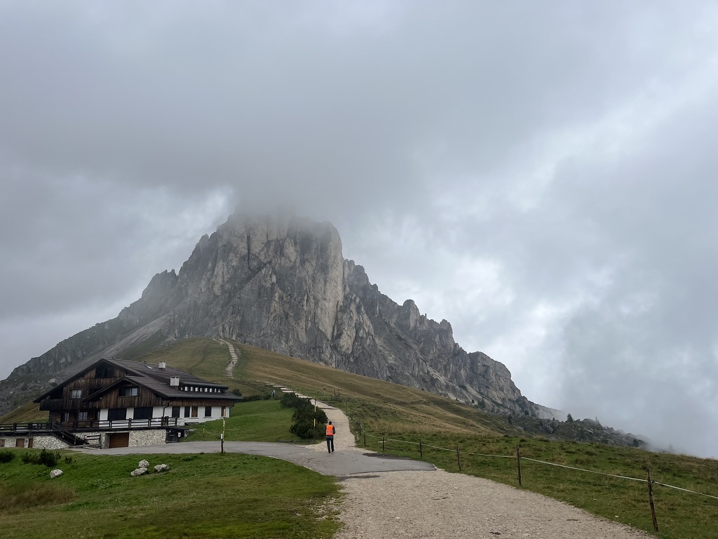
Rifugio Averau → Passo Giau → Forcella di Formin → Rifugio Croda da Lago
Loading map…
Loading elevation…
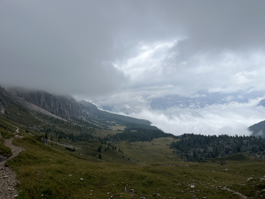
📍 Fully GPS-covered. The whole day — Averau → Passo Giau → Forcella di Formin → Rifugio Croda da Lago — is now one continuous real GPX track, measured end to end: 14.7 km, +806/−1182 m, cresting 2,478 m near the real Forcella di Formin saddle (2,462 m) and finishing 37 m from the actual rifugio door. This replaced an earlier patchwork of three different partial/estimated sources.
Highlights
⭐ Notes: Instead of the short direct trail from Passo Giau to Lago Federa, take the full circuit the long way round — over Forcella di Formin (2,462 m, the highest point of the Croda da Lago ring, wedged between the Lastoni di Formin plateau and Cima Ambrizzola), then down a steep, loose boulder field before dropping to the lake. Shorter than it looks on paper — the climbing and technical footing are what make it a full day, not the distance.
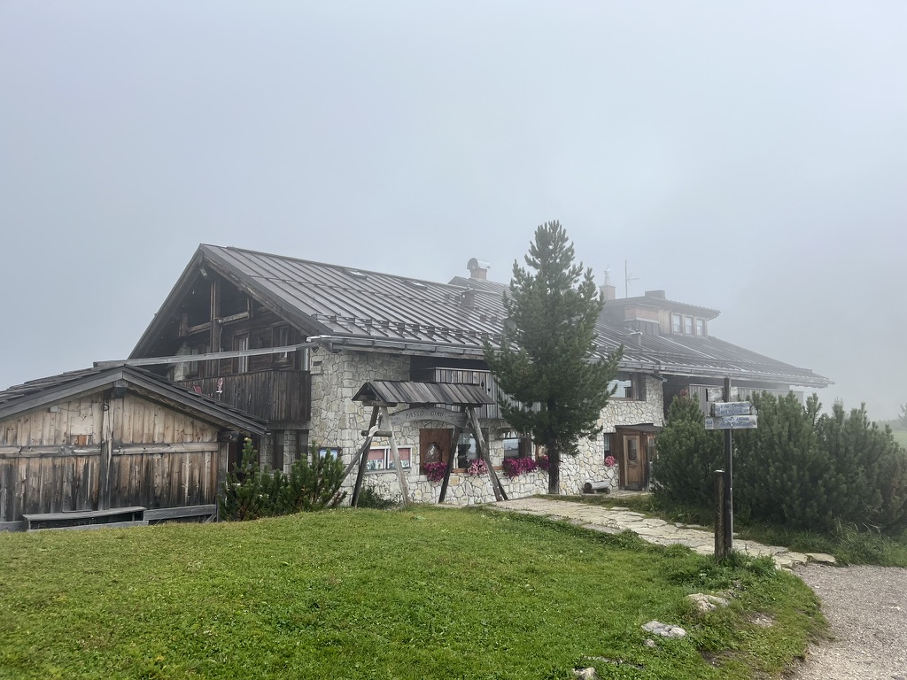
🌅 Arrival: Rifugio Croda da Lago sits right on the shore of Lago Federa, with Becco di Mezzodì reflected in the water — one of the most photographed rifugio settings in the Dolomites.
📏 Sourcing: Measured end to end from a real GPX course covering the whole day.
🌅 Arrival: Rifugio Croda da Lago sits right on the shore of Lago Federa, with Becco di Mezzodì reflected in the water — one of the most photographed rifugio settings in the Dolomites.
📏 Sourcing: Measured end to end from a real GPX course covering the whole day.
Distance~14.7 km
Elev Gain↑ ~806 m
Elev Loss↓ ~1,182 m
Moving Time~6.5–7.5 hr
DifficultyHard
GPX📥 Download ⬇
Day4
Croda da Lago → Forcella Ambrizzola → Città di Fiume → Coldai → Civetta traverse → Rifugio Tissi
Loading map…
Loading elevation…
📍 Fully GPS-covered. The whole day — Croda da Lago → Forcella Ambrizzola → Città di Fiume → Coldai → Civetta traverse → Rifugio Tissi — is now one continuous real GPX track, measured end to end: 22.2 km, +1,450/−1,237 m, starting 42 m from the real rifugio door and finishing 285 m from the real Tissi coordinate. This replaced an earlier patchwork of a partial reference track plus a separate Strava-sourced connector.
Highlights
Forcella Ambrizzola
Monte Pelmo up close
Lago Coldai
Civetta NW wall (1,200 m face)
Rifugio Tissi ledge
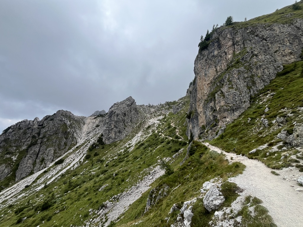
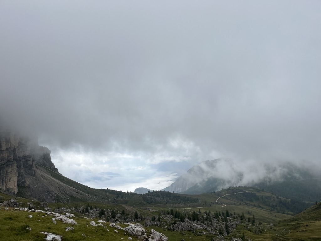
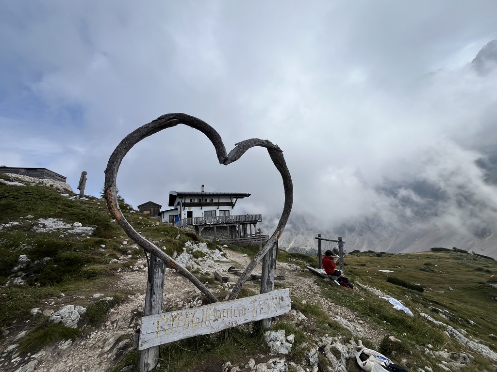
⚠ Notes: Climb back over Forcella Ambrizzola (you'll recognize it from yesterday's approach, now from the other side) and drop past Città di Fiume, under Monte Pelmo's north face. Cross Forcella Staulanza, climb to Rifugio Coldai and Lago Coldai, then the long balcony traverse under the Civetta north-west wall — 4 km wide, 1,200 m of vertical limestone. Finish at Rifugio Tissi, perched right on the cliff edge staring straight at the face — better positioned for the view than Vazzoler below, at the cost of pricier/scarcer showers.
🍽 Lunch: Rifugio Coldai (~14 km in).
💧 Water: Dry traverse after Coldai — fill both bottles.
📏 Sourcing: Measured end to end from a real GPX course covering the whole day — the elevation gain/loss came in noticeably higher than the earlier trail-guide estimate (+1,450/−1,237 m vs. the old +1,196/−992 m estimate), so budget extra time on the Civetta balcony traverse.
🍽 Lunch: Rifugio Coldai (~14 km in).
💧 Water: Dry traverse after Coldai — fill both bottles.
📏 Sourcing: Measured end to end from a real GPX course covering the whole day — the elevation gain/loss came in noticeably higher than the earlier trail-guide estimate (+1,450/−1,237 m vs. the old +1,196/−992 m estimate), so budget extra time on the Civetta balcony traverse.

Distance~22.2 km
Elev Gain↑ ~1,450 m
Elev Loss↓ ~1,237 m
Moving Time~8.5–9.5 hr
DifficultyHard
GPX📥 Download ⬇
Day5
Rifugio Tissi → Vazzoler → Passo Duran → Carestiato → Rifugio Pramperet
Loading map…
Loading elevation…
📍 Fully covered. This chart now starts right at Rifugio Tissi (fixed — it previously ran a few km past Tissi into Vazzoler before Day 5 picked up) and traces cleanly through Vazzoler, Carestiato, and down to Pramperet: 30.8 km, +1,321/−1,717 m, measured directly from this real track (the stats panel previously showed a stale estimate that didn't match the map/chart — now corrected).
Highlights
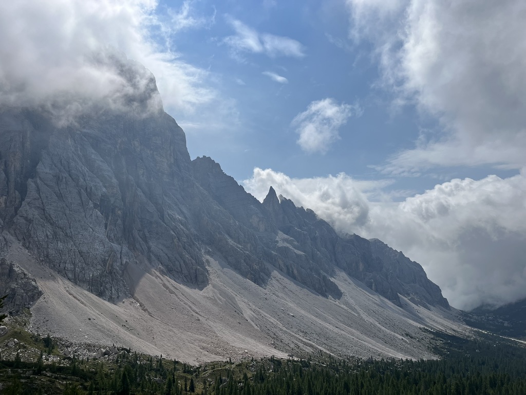
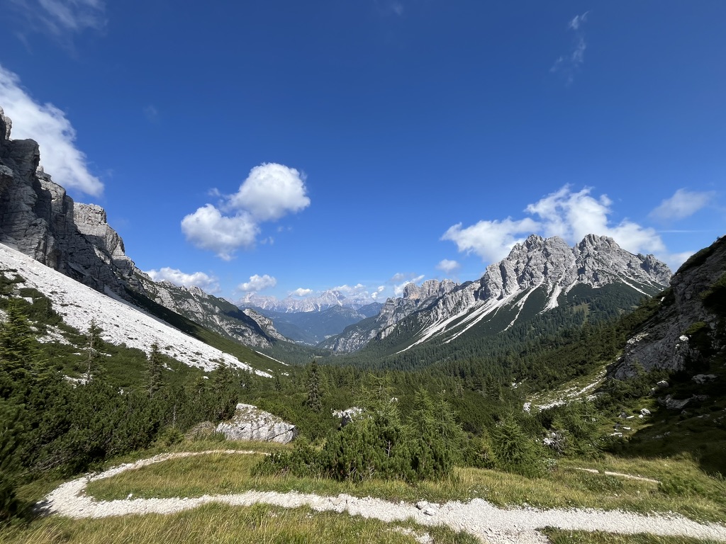
💡 Notes: Descend from Tissi past Rifugio Vazzoler's alpine garden, then under the Moiazza walls to Rifugio Carestiato — best shower facilities on the whole route, worth the stop even just for coffee. Drop to the Passo Duran road pass (last road access — bail point if needed), then climb through forest and over Forcella Moschesin into the wild Bellunese Dolomites. Pramperet sits in a high grassy basin — the most remote-feeling night of the trip.
🍽 Lunch: Rifugio Carestiato (~18 km in) or at Passo Duran.
🍽 Lunch: Rifugio Carestiato (~18 km in) or at Passo Duran.
Distance~30.8 km
Elev Gain↑ ~1,321 m
Elev Loss↓ ~1,717 m
Moving Time~11–12 hr
DifficultyHard
GPX📥 Download ⬇
Day6
Rifugio Pramperet → Forcella de Zita Sud → Pian de Fontana → La Pissa — Finish!
Loading map…
Loading elevation…
📍 Fully covered. Unchanged from the standard AV1 line, so the chart above is a real GPS-traced track end to end: 16.9 km, +818/−2,223 m.
Highlights
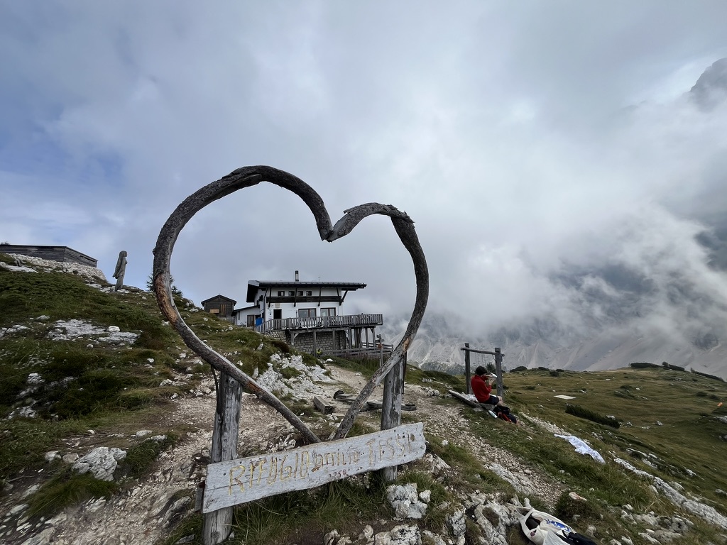
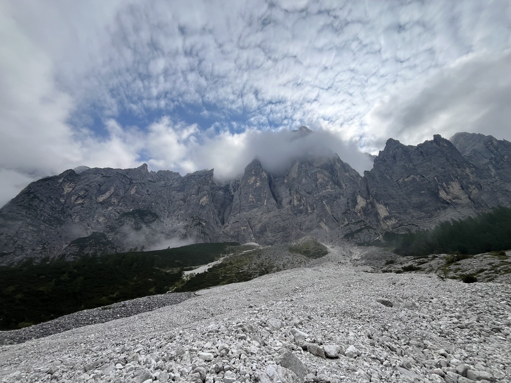
🎉 Notes: The wild finale. Climb to Forcella de Zita Sud — last big pass, chamois country, huge Schiara views — then the steep, loose descent to Rifugio Pian de Fontana (last strudel of the trip). Down the long Val Vescovà through forest to the La Pissa bus stop on the valley road.
🚌 Finish logistics: Dolomitibus from La Pissa → Belluno (~30 min — sparse schedule, screenshot it; hitching is common backup). Train Belluno → Venice (~2 hr). Celebration dinner in Belluno's Renaissance old town.
🚌 Finish logistics: Dolomitibus from La Pissa → Belluno (~30 min — sparse schedule, screenshot it; hitching is common backup). Train Belluno → Venice (~2 hr). Celebration dinner in Belluno's Renaissance old town.
Distance~16.9 km
Elev Gain↑ ~818 m
Elev Loss↓ ~2,223 m
Moving Time~7–7.5 hr
DifficultyHard
GPX📥 Download ⬇